
Overland Flooding on the Gold Coast: What Buyers Should Check
Overland flooding on the Gold Coast is stormwater running across the ground, and the council’s flood risk map does not currently show it. So a property can look clear on the map and still take water in a heavy downpour. Before you buy, check the flood overlay, order the council’s flood level report, and then price in the overland flow risk the maps leave out. We built WealthStacker’s hazard and risk overlays so investors can weigh this alongside valuation, borrowing power and cash flow.
WealthstackerFactor Flood Risk Into Property DecisionsWealthStacker combines property valuations, borrowing power and cash flow insights to help you weigh real estate decisions with more context.VisitTL;DR
- Overland flow is rainwater moving over the ground before it reaches a creek or drain, or spilling out of full underground drainage. It is a different problem from a river or creek breaking its banks.
- The City of Gold Coast says its flood risk map does not yet include overland flow path mapping, so a clear result on that map is not the same as no overland risk.
- For a specific address, the council’s flood level search report gives engineer-verified information. Order it before your contract goes unconditional.
- Sea-level rise adds another layer on the coast, but regional inundation layers are not accurate enough to judge a single lot.
- Treat flood exposure as a cost and a risk in your investment model, not just a yes or no on a map.
Table of Contents
- What overland flooding actually is
- What the Gold Coast flood overlay shows, and what it leaves out
- How to check a Gold Coast property for flood and overland flow risk
- Which tool answers which question
- Sea-level rise and coastal flooding
- If you are also looking at Sydney or Geelong
- What this means for different investors
- Putting flood risk into your investment model
- A short pre-offer checklist
- FAQ
- Sources
What overland flooding actually is
Most people picture a flood as a river rising. Overland flooding is different. The City of Gold Coast describes overland flow as water running over the ground after rainfall before it reaches a waterway, or stormwater spilling out of underground drainage systems that are full. The council also notes that changing the paths this water takes can make local flooding worse.
That matters for buyers because overland flow does not need a creek nearby. It can follow a street, cut through a side setback, pool in a low corner of a block or pass under a house on a slope. The same council page says the Gold Coast is prone to flooding and that protecting overland flow paths is crucial to how the city drains.
Three practical consequences follow:
- It can affect homes away from waterways. A property several streets from the nearest creek can sit on a natural flow path.
- It can be fast. It is driven by short, intense bursts of rain rather than days of catchment build-up. Flash flooding on the Gold Coast has cut roads in a single downpour in past events, and the Queensland Reconstruction Authority’s flood terms explain why local conditions drive how it behaves.
- It can change after you buy. New building, fill, fencing and landscaping on your block or the neighbouring ones can redirect flow.
What the Gold Coast flood overlay shows, and what it leaves out
The City Plan contains a Flood overlay code and a Flood overlay map. Any development or building within the mapped area is assessed against the provisions of that code. In plain terms, the overlay tells you whether the council treats the land as flood-affected for planning and building purposes. It matters if you plan to renovate, extend, subdivide or build a granny flat, because it can set minimum floor levels and design requirements.
The council also publishes supporting flood maps, including an indicative map of the proposed defined flood event, a flood flow conveyance map and a roads and flood resilience map. These are the maps most people mean when they search for Gold Coast flood maps.
The limit is stated on the council’s own page: the flood risk map currently does not include overland flow path mapping, and the council says it plans to make that available. That is the central point for this topic. If you search an address and it shows no flood extent, you have learned something about creek and river flooding. You have not learned that stormwater cannot cross the block.
The council also advises owners using non-statutory flood risk awareness maps to speak with builders, engineers or surveyors about the site-specific circumstances. The Queensland Reconstruction Authority takes the same line: for property-level flood mapping and data, it strongly recommends contacting the relevant local council.

How to check a Gold Coast property for flood and overland flow risk
Here is a routine that works before an offer or before the contract goes unconditional.
1. Search the address on the council’s flood maps
Start with the City of Gold Coast flood maps and the Flood overlay map in the City Plan. Note whether the lot, or any part of it, sits in a mapped flood area. Check the neighbouring lots and the road in front too. Where a street is shown as a flood-affected route, access can be cut off even if the house itself stays dry.
2. Order the flood level search report
The council says its flood level search report gives reliable, engineer-verified flood information for a property. It is especially important if you plan to build or renovate on a lot in the defined flood event map, because it includes the defined flood level. It is the closest thing to an authoritative answer for one address, and it is worth getting for any purchase near water or in a low spot.
3. Look at the ground, not just the screen
Visit after rain if you can. Look for:
- the lot sitting below the street or below the neighbours
- water marks, silt lines or stained fences and garage walls
- drains and grates that look undersized or blocked
- fill, retaining walls or new structures that could push water onto the block
- the low point where water would leave, and whether anything blocks it
The council’s advice to speak with a builder, engineer or surveyor about site conditions is worth following when a lot has any of these signs.
4. Ask about past events and building history
Ask the agent and the seller about previous water entry, repairs and insurance claims. Check the building and approval history for works that changed levels or drainage. Land-use planning that anticipates risk can reduce the impact of future disasters, which is why approved floor levels and design conditions are worth reading closely.
5. Get the insurance position early
Ask an insurer for a quote on the specific address, and ask whether flood cover is included and on what terms. Do this before you commit. Premiums and exclusions affect holding costs and the price a future buyer will pay. For the wider property due diligence picture, see these property valuation risk factors that investors weigh before they commit.
6. Put the result into your numbers
A flood finding should change your model, not just your gut feeling. Higher insurance, repair allowances, a longer vacancy after an event, and possible effects on resale all belong in the forecast. Our guide on building a property cash flow forecast shows how to set up those lines.
Which tool answers which question
| Question | Best source | Limit |
|---|---|---|
| Is the lot in a planning flood area? | City Plan Flood overlay map | Planning tool, not a guarantee of dry ground |
| What is the defined flood level for this address? | Council flood level search report | Covers the defined flood event, not every rainfall scenario |
| Is there a flow path through the block? | Site inspection, plus a builder, engineer or surveyor | Council overland flow mapping is not yet part of the flood risk map |
| What happened in past events? | Seller, neighbours, insurance history | Memory and records vary |
| How might sea-level rise matter? | Council coastal adaptation planning | Regional layers, not lot-level answers |
Sea-level rise and coastal flooding
Overland flooding and sea-level rise are separate hazards, but on the Gold Coast they can stack: a heavy rain event with a high tide or storm surge leaves stormwater less room to escape. The City’s Coastal Adaptation Plan identifies actions to amend the City Plan so that coastal hazard risks are tolerable and acceptable. It addresses sea-level rise and more intense cyclones, which can affect water supply, sewerage, stormwater, buildings and roads.
If you want a map view, the Australian Climate Service has generated coastal inundation layers for cities across Australia at different sea-level rise increments, published through the CSIRO data portal. CSIRO notes these layers suit regional planning but have limits for individual property-level assessment, because of potential inaccuracies in elevation data and resolution. Use them to understand the broad picture, not to decide on one lot.
For the coastal side in more detail, read our piece on storm surge on the Gold Coast.
If you are also looking at Sydney or Geelong
Many investors compare markets, so a few pointers on the other two cities that come up with this search.
Sydney. There is no single Sydney flood map. The City of Sydney’s floodplain management plans cover 8 local catchments. Flood studies identify at-risk areas, and computer models map flood extent, speed, level and flow. Flood planning must be reviewed every 5 years, with catchment updates scheduled between 2024 and 2030. Beyond the city boundary, be careful with regional maps: the NSW SES map for the Hawkesbury-Nepean Valley shows river flooding, not local catchment or overland flooding, and tells readers to contact their local council for that. The SES also says the first step to preparedness is knowing your flood risk, and that floodwater can be deeper and faster than it looks.
Geelong. The City of Greater Geelong’s planning checklist says many residential and non-residential permit applications need a STORM or MUSIC modelling report for stormwater management. If you plan to build or extend, expect stormwater to be part of the approval conversation, and check the council’s own flood information for the address.
The lesson is the same in each city: a regional map tells you about the catchment, and the local council tells you about the lot.

What this means for different investors
First-home buyers. Make the flood level report and an insurance quote part of your pre-offer checks, alongside building and pest. A lower price on a low-lying lot only helps if you can insure it and sell it later.
Renters weighing up rentvesting. If you rent where you want to live and buy elsewhere, flood exposure belongs in the comparison. A rentvested property in a flood-prone street carries costs that a rental does not, including insurance, repairs and vacancy after an event.
Portfolio investors. Look at hazard exposure across the whole portfolio, not property by property. Several assets in one catchment or low coastal area share one weather event. Our article on 1.5 million Australian homes at climate risk covers how to run those checks.
Financial planners. Document the flood checks you ran for a client’s purchase, and keep the council report on file. Overlays also differ by hazard and by council, so it helps to understand zoning and planning overlays more broadly.
Busy professionals. If you only have time for three things: the council overlay search, the flood level report and an insurance quote on the exact address.
Putting flood risk into your investment model
A flood overlay is not a verdict. It is an input. The useful questions are how much it adds to holding costs, how it changes the rent and sale price you can expect, and how it affects what a lender will accept.
WealthStacker is an investment toolkit for Australian property. It includes free automated quarterly property valuations, hazard and risk analysis overlays, market research tools for Australian suburbs, borrowing power estimations and 15-year investment modelling that compares rentvesting and buying scenarios. That lets you test a Gold Coast purchase with higher insurance and repair allowances against a lower-risk suburb, and see the effect on your projected net worth.
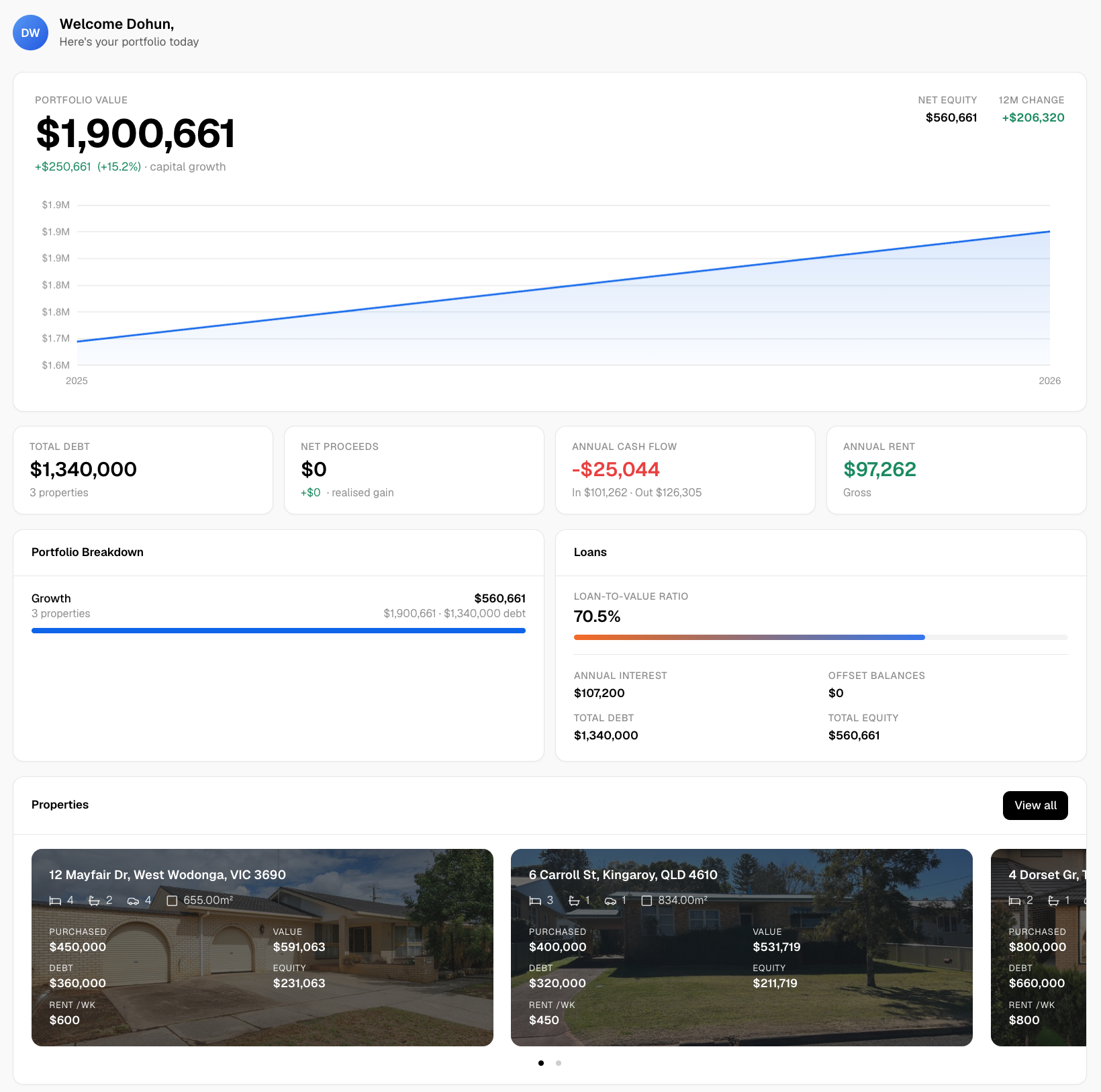
If you are weighing a Gold Coast property, open the WealthStacker toolkit to look at hazard overlays and model the numbers for the address in front of you.
A short pre-offer checklist
- Search the address on the City Plan Flood overlay map and the council’s flood maps.
- Order the council flood level search report.
- Visit after rain and look for low points, flow paths and silt lines.
- Ask about past water entry, repairs and insurance claims.
- Get an insurance quote for the exact address, including flood cover terms.
- Speak to a builder, engineer or surveyor if the block shows any sign of flow paths.
- Add insurance, repairs and vacancy risk to your forecast before you decide.
FAQ
Does the Gold Coast flood map show overland flooding?
Not yet. The City of Gold Coast says its flood risk map currently does not include overland flow path mapping and that it plans to make it available. For one property, order the flood level search report and have a builder, engineer or surveyor look at the site.
What is a flood overlay on the Gold Coast?
It is a map and code in the City Plan. Development or building within the mapped area is assessed against the Flood overlay code. It matters most when you build, renovate or subdivide, and it is the starting point for checking a lot, not the end of it.
How do I get the flood level for a specific Gold Coast property?
Request the council’s flood level search report. The council describes it as engineer-verified flood information for a property, and it includes the defined flood level where the property is in the defined flood event map. Order it before your contract goes unconditional.
Will sea-level rise change flood risk on the Gold Coast?
It can add to coastal hazard risk, and the City’s Coastal Adaptation Plan addresses it through City Plan changes. Regional inundation layers from CSIRO are useful for the broad picture but are not accurate enough to judge individual properties.
Are the Sydney and Geelong flood maps the same as the Gold Coast’s?
No. Each council runs its own flood studies and maps. In Sydney, catchment-based floodplain management plans apply, and regional river maps do not cover local overland flooding. Always check the local council for the address you are buying.
Sources
- Flood modelling and risk assessment, City of Gold Coast
- Flood terms and definitions, Queensland Reconstruction Authority
- Flood mapping, Queensland Reconstruction Authority
- Coastal Adaptation Plan, City of Gold Coast
- National Climate Risk coastal inundation layers, CSIRO Data Access Portal
- Floodplain management plans, City of Sydney
- Richmond/Windsor Floodplain, NSW SES
- Planning Permit Checklist, City of Greater Geelong