
Sydney Airport Noise Overlay: How to Read the ANEF Map
The Sydney Airport noise overlay is the ANEF chart: a set of contour lines that forecast how much aircraft noise an area will get. For a buyer or investor, the lines that matter are 20 and 25. Below 20, a house is generally acceptable to build. Between 20 and 25, it is conditionally acceptable. Above 25, new housing is classed as unacceptable. Check where an address sits before you make an offer, because the band affects building rules, the cost of noise insulation and, in practice, who will want to buy or rent the place later.
This guide explains what the map shows, how to read its numbers, where the map falls short of what you hear at the front door, and a checklist for a property you are considering. When you shortlist a property, WealthStacker lets you view hazard and risk overlays alongside its valuation and borrowing power tools, so the noise question sits next to the numbers.
WealthstackerPut Property Risks in ContextWealthStacker combines automated quarterly valuations, AI tools and personalised modelling to help you assess real estate decisions and potential net worth.VisitTL;DR
- The Sydney Airport overlay is the ANEF (Australian Noise Exposure Forecast) chart, approved by Airservices Australia. It forecasts future noise and does not measure today’s noise.
- Under the AS 2021:2015 table printed on the chart, houses are acceptable below 20 ANEF, conditionally acceptable at 20 to 25, and unacceptable above 25.
- NSW planning relies on ANEF contours, so councils near the airport apply noise rules to new buildings, substantial alterations and changes of use within the 20 ANEF contour or higher.
- Noise can reach well outside the contours, and flight paths change. Treat the map as a first filter, then listen to the street at different times.
- Check the address, the band, the council’s controls and the insulation cost before you commit.
Table of Contents
- What the Sydney noise overlay actually is
- How to read the contours
- What the overlay means for a buyer or investor
- Why the map is not the whole story
- How to check a specific Sydney address
- Putting noise into your investment numbers
- Where WealthStacker fits
- FAQ
- Sources
What the Sydney noise overlay actually is
When people search for an airport noise map or aircraft noise overlay for Sydney, they usually mean one document: the Sydney Airport ANEF 2039 chart. It draws noise contours around the airport and names the surrounding council areas it touches, including Northern Beaches, Willoughby, Ryde, Lane Cove, North Sydney, Mosman, Hunters Hill and Parramatta.
The NSW Department of Planning, Housing and Infrastructure describes ANEFs as forecasts of future noise exposure approved by Airservices Australia. Land use planners base their controls on those contours, and a higher number means higher exposure.
Two points trip people up:
- It is a forecast. The chart models future aircraft movements, fleet mix, runway modes and flight paths. The 2039 chart is a composite built from 2026 and 2039 design days, according to a Canada Bay Council master plan review that also takes account of Western Sydney Airport coming into operation.
- It is a planning tool. It tells a council whether a building should go ahead and what it must be built to. It does not tell you how a given Tuesday night will sound.
If you are comparing cities, the same logic applies elsewhere. Our Brisbane ANEF overlay guide walks through the Brisbane equivalent.
How to read the contours
The contours are drawn in five-unit steps from 15 up to 40, as the federal Guideline A attachment explains. A higher value means a greater forecast exposure.
The number is not a decibel reading you can compare with a phone app. It is an index built from average daily noise. Per the same federal document, it is based on average daily sound pressure levels, with a 6 decibel adjustment applied to night-time movements, and it measures total noise energy. A single 70 dB event contributes as much as ten 60 dB events.

That is why the number rewards or penalises frequency and night flights as much as loudness.
What each band means in plain terms
Inner West Council’s aircraft noise assessment sets out the general picture:
- Outside 20 ANEF: other noise sources, such as traffic, tend to predominate.
- 20 to 25 ANEF: aircraft noise starts to emerge as an environmental problem.
- Above 25 ANEF: exposure becomes progressively more severe.
The same document notes that 25 ANEF was adopted as the residential land use criterion following a 1985 House of Representatives committee recommendation.
The building acceptability table
The ANEF 2039 chart prints the AS 2021:2015 table (the Australian Standard on aircraft noise intrusion, building siting and construction). The chart itself gives these thresholds:
| Building type | Acceptable | Conditionally acceptable | Unacceptable |
|---|---|---|---|
| Houses, home units, flats, caravan parks | Below 20 | 20 to 25 | Above 25 |
| Schools, universities, hospitals, nursing homes | Below 20 | 20 to 25 | Above 25 |
| Hotels, motels, hostels | Below 25 | 25 to 30 | Above 30 |
| Commercial buildings | Below 25 | 25 to 35 | Above 35 |
| Light industry | Below 30 | 30 to 40 | Above 40 |
If you invest across property types, the table shows why a commercial or light industrial building can sit under the same contour as houses without the same restrictions.
What the overlay means for a buyer or investor
Planning and building rules
NSW has endorsed ANEF contours, along with AS 2021:2015, as the basis for land use planning near airports. It has not adopted the newer N contours (counts of single-aircraft events above 60, 65 or 70 dB(A)) in its Aviation Safeguarding Guidelines. So ANEF is the number your council uses.
Councils then write the rule into their own controls. Bayside Council’s Development Control Plan Part 3J says its aircraft noise controls apply to all development within the 20 ANEF contour and above, using the chart the council has adopted. A review of local environmental plans in the Canada Bay document found that nearly all councils within the ANEF zones have a clause on development in aircraft-noise areas, generally requiring AS 2021:2015 compliance for new buildings, substantial alterations and changes of use to noise-sensitive purposes in land at 20 ANEF or above.
In practice:
- A renovation or extension in the 20 to 25 band may need acoustic treatment to meet the standard.
- Inner West Council has said new residential development is not permitted above 25 ANEF. That affects any plan to knock down and rebuild, or to subdivide, on land in that zone.
- Planning overlays often stack. A property can sit under a noise contour and a heritage or flood control at once, so read the full planning certificate. Our guides to zoning and planning overlays and heritage overlay approvals show how to read those layers.
Value, rent and resale
There is no published rule that a particular ANEF band takes a fixed percentage off a price. Treat noise as one input among many. Compare the property with similar homes outside the contour on the same street grid and see how long each takes to sell. Our guide to Sydney auction clearance rates helps you judge how competitive the local market is before you decide how much weight to give noise.
Why the map is not the whole story
A contour is a boundary on paper, and noise does not stop at it.
The Western Sydney Airport environmental impact statement says aircraft noise may be experienced outside the areas shown by the contours, and that people newly exposed may be more sensitive to changes. A federal discussion paper on aircraft noise notes that at Sydney Airport the 20 ANEF contour approximates to 40 events a day above a given dB(A) level. It adds that this extends the noise footprint considerably further than the 20 ANEF line the usual reporting stops at.
Why a home outside the line can still hear planes:
- Averages hide peaks. A quiet daytime average can include loud, repeated overflights.
- Flight paths change. Inner West Council’s submission says recently announced Sydney Airport flight path changes to accommodate Western Sydney Airport may add flights over parts of the Inner West, with the number of extra flights not disclosed.
- Runway modes shift. Which runway is in use depends on wind and operating arrangements, so one visit is a thin sample.
- The forecast moves. Chart updates reflect new traffic forecasts, and the Sydney Airport Demand Management Act 1997 caps movements at 80 an hour, as noted in the Canada Bay review.
The picture is not all one way. Sydney Airport’s master plan says the area inside the 25 ANEF contour has fallen by 1,150 hectares, or 36%, since 1976 despite more air traffic, helped by quieter aircraft. Use the overlay for what it is: a consistent, official way to compare addresses.
How to check a specific Sydney address
Here is a routine that takes under an hour.
- Get the official chart. Open the Sydney Airport ANEF 2039 chart from Airservices Australia, and locate the street against the contour lines and the named council areas. Airservices also explains how ANEFs are endorsed, including that the forecast must not exceed the physical ultimate capacity of the runways.
- Use the planning layer. The NSW Planning Portal publishes an airport noise dataset from the Department of Planning, Housing and Infrastructure, which is the spatial data behind the planning instrument. Its metadata lists an update frequency of “as needed”, so confirm against the chart.
- Read the council’s controls. Look up the local environmental plan clause and development control plan for the suburb. Confirm whether the property falls in the 20 ANEF band or above, and what noise standard a renovation would trigger.
- Ask for the planning certificate. For a purchase, the conveyancer or solicitor arranges the section 10.7 planning certificate and contract documents. They are the right person to confirm what restrictions are recorded against the title.
- Listen on site. Visit at different times: a weekday morning, an evening and a weekend. Stand in the garden as well as the living room.
- Price the fix. If you plan to renovate in the 20 to 25 band or above, get a quote from an acoustic consultant for AS 2021:2015 treatment and put it in your budget.
For western Sydney, the position differs. The Western Sydney International Airport flight path documents say that until an ANEF is approved for that airport, the long-term ANEC contour in the Western Parkland City planning policy informs land use planning. They add that ANEC contours are not flight paths, and that properties outside them may still experience aircraft noise.
Putting noise into your investment numbers
Noise is one of several location risks that belong in the same decision as price and borrowing capacity. Flood, bushfire, contamination and climate exposure are all property-level risks that a map can flag early. Our guides on climate risk for Australian homes and land contamination checks cover two of them.
A sensible way to work through it:
- Note the ANEF band and any planning restrictions.
- Estimate the cost of noise insulation if you plan work, and any effect on the rent you can reasonably expect.
- Run the property through your cash flow and long-term plan with that cost included.
- Compare it with an alternative outside the contour that costs more up front.
If you are renting now and weighing a purchase near the flight path against renting and investing elsewhere (often called rentvesting), the comparison is a numbers exercise over a long horizon. Our guide to long-term property projections explains the assumptions to use.
Where WealthStacker fits
WealthStacker is a toolkit for assessing Australian property decisions. It includes free automated quarterly property valuations, hazard and risk analysis overlays, borrowing power estimations, and 15-year modelling that compares rentvesting and buying scenarios. It also offers market research tools for Australian suburbs and an interactive net worth planner. Use these to see how a property near the flight path compares with other options over the long run, with borrowing capacity worked out in the same place.
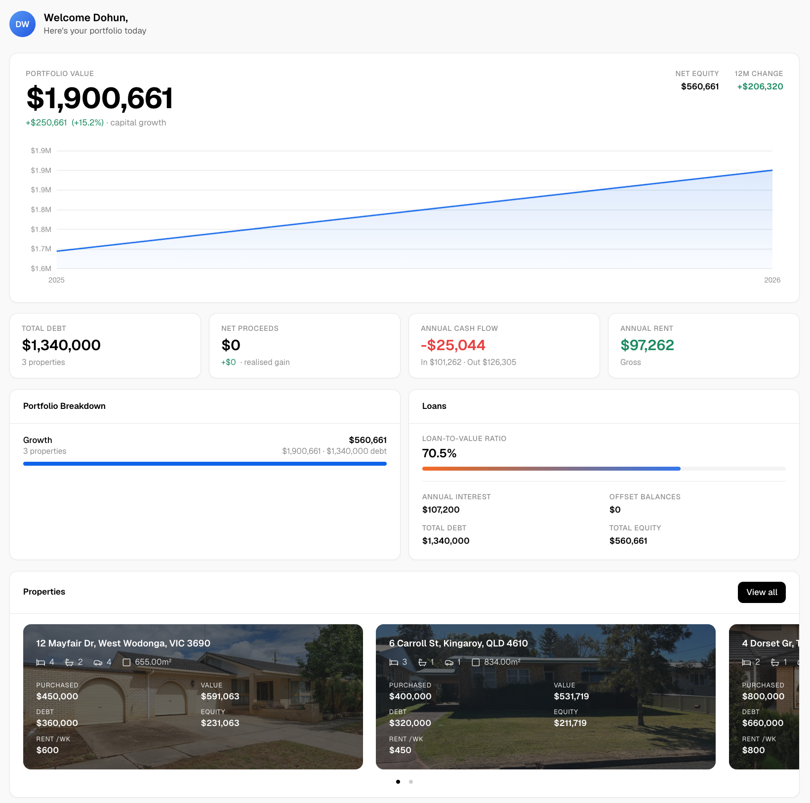
Start at WealthStacker and look up the suburbs on your shortlist. If lending limits are the sticking point, the guide to APRA’s 3% buffer and the 6x debt-to-income ceiling explains how serviceability tests shape what you can borrow.
FAQ
Is there one official Sydney airport noise map?
The planning reference is the Sydney Airport ANEF 2039 chart approved by Airservices Australia. Councils such as Bayside adopt the chart applicable to their area and apply it through their development control plans. The NSW Planning Portal also holds a related airport noise spatial dataset.
What ANEF level is too noisy for a house?
Under AS 2021:2015, as printed on the Sydney Airport chart, a house is acceptable below 20 ANEF and conditionally acceptable from 20 to 25. Above 25 it is unacceptable for new residential development. Conditionally acceptable means building to the standard’s noise reduction requirements.
Does a property outside the contours get no aircraft noise?
No. Official documents state that noise can be experienced outside the contours, and that the 20 ANEF line does not mark where aircraft stop being heard. Flight path changes can also add or remove flights over an area, so visit at different times.
Does the noise overlay affect renovations?
It can. Council controls generally require AS 2021:2015 compliance for new buildings, substantial alterations or additions, and changes of use to noise-sensitive purposes in land at 20 ANEF or above. Check the local environmental plan and development control plan before you design the work.
Sources
- Sydney Airport ANEF 2039, Airservices Australia
- Aviation Safeguarding Guidelines, NSW Department of Planning, Housing and Infrastructure, May 2026
- Guideline A attachment, Department of Infrastructure
- Aircraft Noise Assessment, Inner West Council
- Canada Bay Council master plan review document
- Bayside Council DCP Part 3J
- Inner West Council submission, Parliament of Australia
- Western Sydney Airport Environmental Impact Statement, noise chapter
- Aircraft Noise Discussion Paper, Department of Infrastructure
- Sydney Airport Master Plan, noise management chapter
- ANEF and ANEI page, Airservices Australia
- Environmental Planning Instrument, Airport Noise dataset, NSW Planning Portal
- Western Sydney International Airport Technical Paper 6, land use and planning